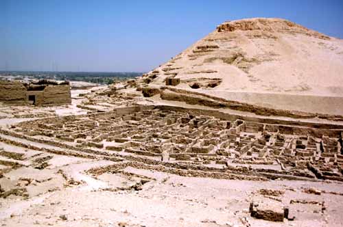
Looking East from the west cemeteries gives a good view of the walls of Deir el Medina.
In the distance, of about 1.5 Km, a belt of green vegetation is visible, mirroring the Nile and it's irrigation canals. From the air the demarcation between the cultivated and non-cultivated land is stark.
The village did not have a water supply and relied on 'serfs' [quote from Ramesses IX] satisfying their water, food and other needs. Regular water supplies were to be brought to the village and stored in large jars in the houses. As the gangs worked for 10 days there must also have been a regular supply of water to the work-camps. The climb from the valley floor to the camps is not difficult but strenuous - the task of re-supplying water must have been difficult.
The high hill behind the village is Gurnet Murai hill. Between the village and the hill are the East cemeteries and to the left is the Ptolemaic temple enclosure.