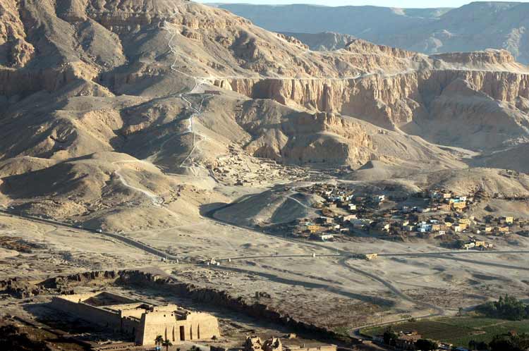
View of the village from a balloon. This shows it's position within the area and its location in relation to Medinet Habu (large temple in the foreground).
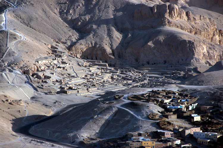
The paths from the village to other parts of the necropolis are clear, they are often ancient in origin and still used both by tourists, soldiers guarding the area and local salesmen.
The limestone ridge is a key feature of the area. Before it are the mortuary temples, the village of Deir el Medina, the tombs of the Nobles and Medinet Habu (the administrative centre of this nome). Behind the ridge are the Valleys of the Kings and Queens.
In the bottom right is the beginning of the cultivated and irrigated land, which forms a green belt between the temples and the Nile.